2019 driest year in decades for parts of North
9 Jan 2020, 11:44 AM
With no significant summer rain forecast, local authorities are keeping a wary eye on an increasingly parched Northland, parts of which experienced some of the driest conditions in decades last year.
Colin Dall, the Northland Regional Council’s Council Group Manager Regulatory Services, says a number of Northland rivers are now below designated ‘minimum flow’ levels designed to limit the amount of water that can be taken during dry periods to protect river ecology.
“Things are changing as staff carry out manual gauging to confirm low flows in different catchments, but at this point, we’ve got about half a dozen consent holders who have ceased their takes in accordance with their resource consent conditions (mainly in the Mid and Far North areas) and council has also had to impose restrictions on some other users.”
Mr Dall says district councils taking water for public supply and farmers irrigating pasture are among the biggest users among the several hundred people or organisations with resource consent to take water, including some major users consented to take hundreds of thousands of litres daily.
However, there are also hundreds of other Northland users taking relatively small amounts of water who don’t need resource consent.
Mr Dall says the council has been advising people for some time not to waste water and to make sure they had taken sensible precautions for the dry conditions, especially those relying on their own supply/with water tanks. The council has also contacted some of its more vulnerable water take consent holders/water users urging them to conserve water where possible.
With summer now in full swing – and no significant rain forecast – members of the council’s hydrology team were currently gauging some of the more critical rivers in the region to ensure they had the most up-to-date data and figures to work with.
“Preliminary information suggests a number of rivers are already below ‘minimum flow’ levels, and although this isn’t unusual over a dry summer, this wouldn’t usually happen until February or March and is linked to last year’s drier conditions.”
Mr Dall says a dry 2019 and unusually low flows for this time of year (and associated reduced oxygen levels) were leading to stagnation and blackish-looking water in some rivers, which is often incorrectly confused with sewage discharges.
The regional council was also receiving a high volume of calls from members of the public reporting potentially unauthorised and /or excessive water use, each of which was being investigated to ensure compliance with regional rules.
Regional river and rainfall data is available on the council’s website via: www.nrc.govt.nz/riversandrain and water restrictions for public water supplies operated by Northland’s three district councils are available on www.bewaterwise.org.nz
Meanwhile, Mr Dall says with 2019 now over, rainfall figures for the entire year had confirmed it had been one of the driest on record in many parts of Northland, and in one case; the second driest where those records stretched back more than a century.
“Just 1100mm of rain was recorded in the Puhipuhi area north of Whangarei last year, a little over half the average 2000mm annual rainfall and making it the second driest year there since 1914.”
The Kaitaia area had recorded the driest year since records began in 1949 (791mm compared to an average 1350mm) and Kerikeri’s 1165mm was the third driest since records began in 1945 and again, significantly under its 1490mm yearly average.
Whangarei too had a very dry year, the 837mm recorded at its airport the driest since records began in 1943 (and compared to a yearly average of 1364mm).
Ngunguru had received 967mm (yearly average 1790mm) and the Brynderwyn area south of Whangarei 976mm (yearly average 1390mm), the lowest rainfall in both areas since records began in the 1980s.
Mr Dall says with such a large rainfall deficit, it could take the region overall a number of years to recover, even once summer was over and the rain came again.
The combination of low river flows and higher water temperatures during summer places stress on river ecology and can result in more prolific growths of algae and low oxygen levels.
Lakes and rivers can also experience blooms/excessive growths in cyanobacteria that have the potential to produce toxins.
He says although there have been few reports in Northland of such growths producing toxins and adversely affecting water use, “people should always be wary of swimming in and using water from lakes and rivers that have cyanobacteria blooms for drinking and stock water purposes”.
More information on algal blooms is available on the council’s website via: www.nrc.govt.nz/naturalphenomena
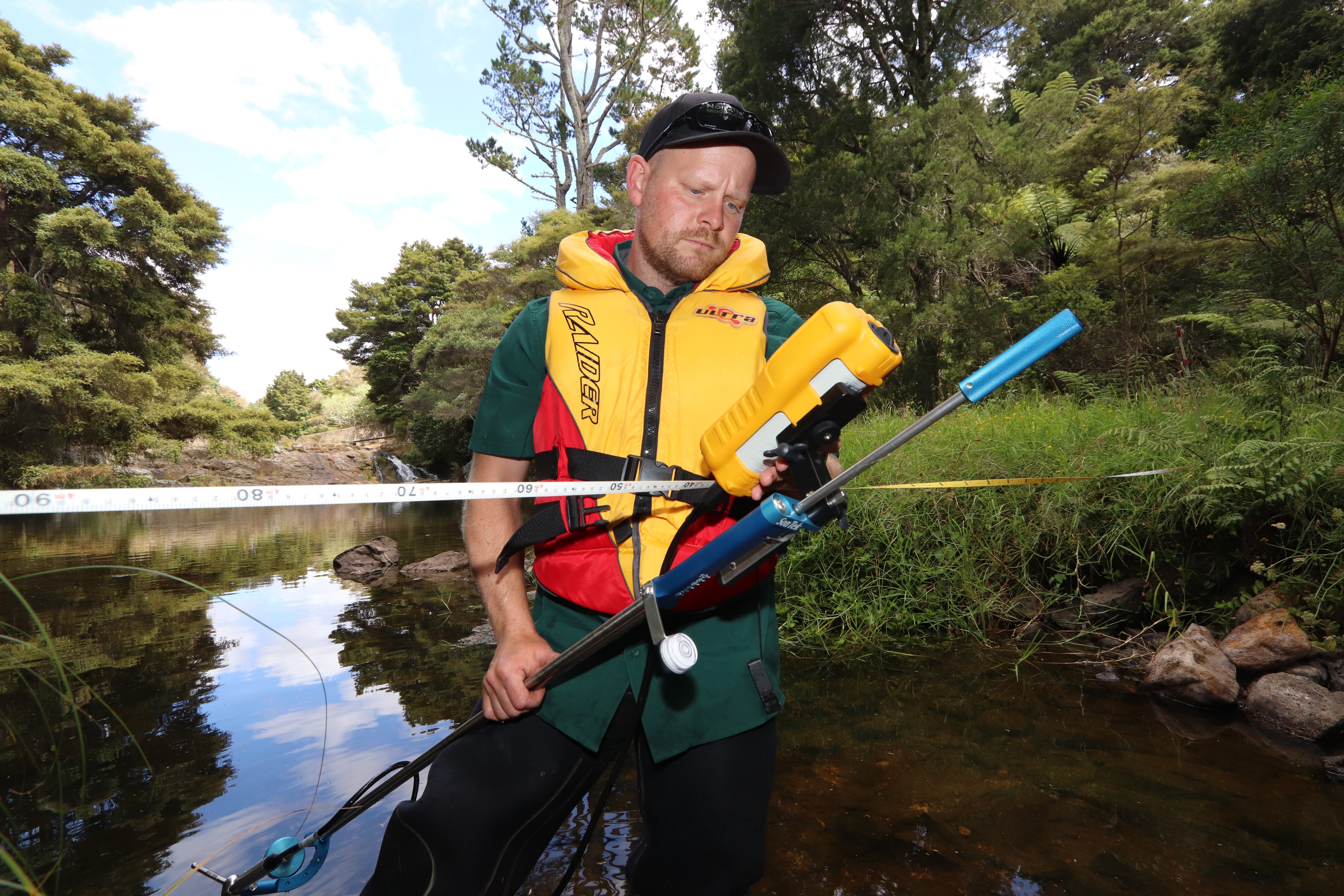
Northland Regional Council Hydrology Monitoring Officer Marcus Schlesier gauging flow rates in the Kerikeri area Thursday, 09 January 2020.