Introduction
This report has been prepared as a continuation of the Northland Regional Council's (the Council) State of the Environment Monitoring Programme. It presents the results from habitat assessment work undertaken in 2010 and 2012, along with an initial analysis of data collected over the last five years, to identify any emerging trends in habitat quality or channel stability at 35 River Water Quality Monitoring Network sites. Data from the 2010 monitoring round is available in a separate report entitled Northland Rivers Habitat Assessment 2008 – 2010.
River habitat assessments are undertaken by the council in order to monitor stream health and stability and track changes over time in Northland's rivers. They also provide valuable information on the state of Northland's riparian environment and the information can aid in the interpretation of both water quality and macroinvertebrate data collected by the council at the same sites.
River habitat quality is a reflection of both natural and human influences. River sites located in catchments where human influence is negligible generally have good stream health and are mainly characterised by natural factors such as stream geology, gradient, and naturally fluctuating physico-chemical properties. On the other hand, impacted river sites – sites located in catchments where human influence is important – tend to have poorer stream health such as increased sedimentation in river beds, excessive nutrients levels, and pathogenic bacteria from both point source discharges, and diffuse surface runoff.
Although channel stability has an influence, it is not always a direct indicator of stream health. This is because the degree of channel stability depends on physical characteristics such as bank and substrate type, the flow regime and riparian vegetation, as well as human activity, such as surrounding land-use and channel alteration. It is also influenced by other natural factors including rainfall and storm events. For example, a headwater stream within an unmodified catchment may have extensive riparian vegetation but due to high rain fall and steep channel gradient the stream has a lot of energy so the bank is regularly undermined and eroded.
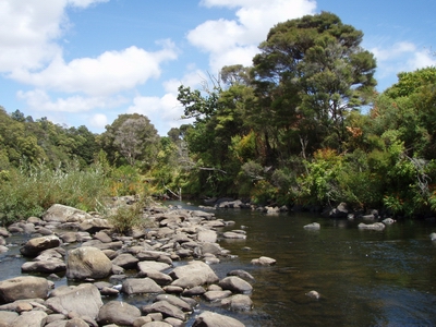 Kerikeri River at Stone Store, upstream view.