Introduction
The Northland Regional Council monitors rainfall, river, groundwater, tidal and lake water levels through its hydrometric network, which consists of 218 monitoring stations spread across Northland. Of these stations, 87 are on a radio/cellphone telemetry network, which means that the data collected is automatically sent to the council's computers for processing.
The information gathered allows the council to make informed decisions about the region's environmental resources, as well as providing valuable information during Civil Defence emergencies, such as severe storms. It is also used to guide water management, particularly during drought conditions and to develop an improved water allocation framework for the region, which will ensure the sustainable management of Northland's freshwater resources.
All telemetered rainfall and river information is available on the council's website
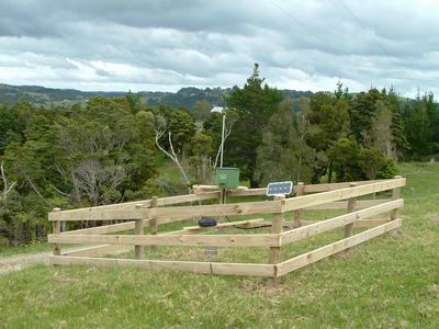 The telemetered rain gauge at McDonnell Road (Ruakaka River catchment).