Introduction
Northland Regional Council (NRC) operates a hydrometric network consisting of rainfall, river, groundwater, tidal and lake water level monitoring stations, spread throughout the region. There are a total of 208 active stations on this network, of which 81 are automated while the rest are manually read. Of the 81 automated stations, 80 (99%) are on a radio/cellphone telemetry network.
During 2007-08, nine new telemetered water level and rainfall stations were installed. These included four in the Kaeo River catchment - at Waiare Road, the Kaeo Fire Station, the outlet to the Whangaroa Harbour and the Whangaroa Wharf - to record flood levels and flows. This data will be used for flood modelling for the Kaeo River Management Plan, as well as providing improved flood warning capabilities for the Kaeo area. Other new stations include water level and flow stations on the Waipoua and Hatea Rivers, and rainfall stations at Oakura Bay, Wilson's Dam and Opua.
From the monitoring period July 2007 to June 2008, 17 severe weather warnings were issued, compared to a total of seven warnings issued in the 2006-07 monitoring period. Three severe weather warnings produced events that resulted in significant flooding in various parts of the region. On the 10 and 11 July 2007, Northland experienced a severe storm from a low pressure system over the north Tasman Sea. Up to 240mm of rainfall was received and gale force winds gusted to over 120km/hr, ‘battering' the region over a 12 hour period. A state of emergency was declared in the far north. This storm was as severe as the March 2007 storm that occurred only two months earlier.
During 2007-08, annual rainfall in the Northland region varied between 80% and 147% of mean annual rainfall. Generally, most of Northland received above average rainfall. There was significant variability in climate conditions throughout the year, with July being extremely wet with two storm events, Sept, Dec, February and April being wet, August, October and March being dry and November, January, May and June being highly variable.
River flows in during 2007-08 were characterised by above average monthly flows during July, August, December and February through to May. Lower flows were recorded throughout September to November and January, although some rivers in western areas recorded below their average monthly flows during March and May as well. Near average to above average flows were recorded in June.
During the 2007-08 financial year, a total of 245 flow measurements were carried out in the region of which 45 were carried during flood events. The new Accoustic Doppler Current Profiler (ADCP) has greatly improved flood measuring capabilities.
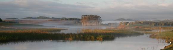
Photo: Lake Owhareiti at dawn