Groundwater
What is groundwater?
Groundwater is rainwater that has travelled through the soil to underground aquifers - areas of fractured rock or porous sediments such as sand or gravel.
Wells pump groundwater from aquifers. We use it for drinking and in agriculture, horticulture and industry.
Groundwater in Northland
Groundwater in Northland is highly variable in both quantity and quality - depending on the geology of the aquifer system.
Our main aquifer systems exist in the:
- Kaikohe basalts;
- Whangārei basalts; and
- Aupōuri sands and shellbeds.
There are also many small sand and gravel coastal aquifers such as Russell, Matapōuri and Taipā, and less productive greywacke aquifers throughout the region.
Rainfall is the main source of recharge for our aquifers. Groundwater tends to recharge during winter due to heavier and more consistent rainfall.
Groundwater in the main basalt aquifers discharges as base flow into springs and streams. Provided there is sufficient recharge occurs during the winter months, the groundwater baseflow can sustain the surrounding streams flows during dry summers.
In the coastal aquifers the main discharge is to the coast. In these aquifers salt-water can move inland when there is over-use or the low recharge. This can cause bores close to the coast to be salty.
The management of Northland's groundwater quality and quantity is accomplished through Regional Soil and Water Plan for Northland and the Proposed Regional Plan for Northland.
Aupouri survey update
A study done to assess the extent of inaccuracies in bore survey data used to assess the Aupouri aquifer has revealed only one sub-catchment – Waiparera – is of potential concern.
In 2019 the council discovered survey datum, which was subsequently used in groundwater assessments and allocation modelling, was inaccurate.
The issue came to light when regional council staff were undertaking preliminary resurveying of bores to establish ‘trigger’ levels for resource consents in parts of the aquifer south of Houhora.
In 2019 it was thought the inaccuracies meant that water levels in a bore in the north-eastern parts of the aquifer could be up to 2.5 metres lower than thought, but conversely up to 1.8m higher in a north-western bore.
However, subsequent modelling undertaken by Council’s Groundwater Scientist and peer reviewed by an independent expert has revealed just one sub-catchment is of potential concern.
Initial thoughts were that the impact of the datum error would be less water available for allocation in the Houhora subzone, but latest modelling shows that there is a reduction in only the Waiparera allocation value. This is because the shell bed is much shallower on the eastern boundary in the Waiparera subzone (near Kaimaumau).
The revised allocation value in Waiparera subzone is 60 percent of the council’s Regional Plan allocation limit (2,080,755 cubic metres versus 3,468,300 cubic metres).
However, importantly, the revised value is still greater than the 1,337,576 cubic metres currently consented to be taken in the subzone.
The revised values for the other subzones were within five percent of the Regional Plan allocation limits.
There are limits in the Regional Plan based on protecting aquifers from saline intrusion and any proposed groundwater take that has the potential to result in saline intrusion would only be granted with tight controls to prevent this, or declined if the risk couldn’t be adequately mitigated.
Additionally, effects on Kaimaumau wetland would also be a limiting factor for water takes.
However, an immediate update of the Regional Plan allocation limits is not necessary, and limits can be updated via the freshwater plan change that council is required to do prior to 2025.
There will soon be much better information on the Aupouri aquifer courtesy of this year’s $3.3m Te Hiku water study.
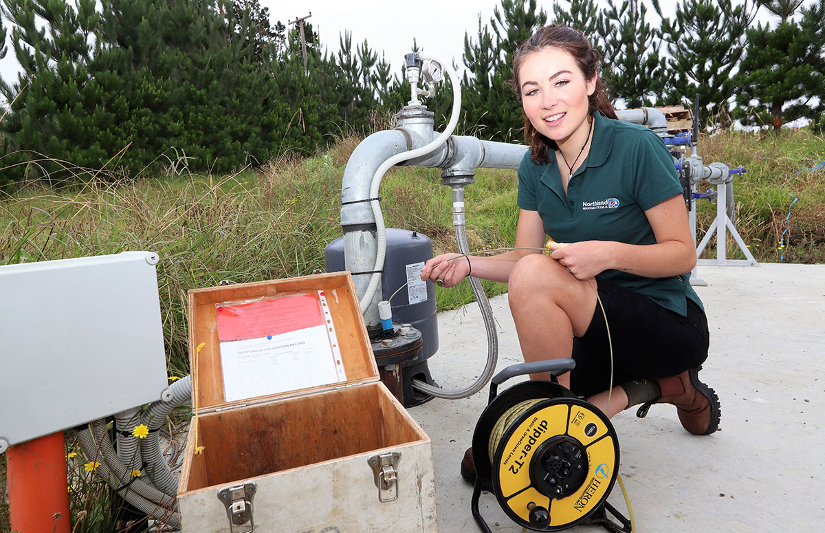
Monitoring the Aupouri aquifer bore.