
Northland is a long, narrow peninsula with a subtropical climate. It has a land area of 1.25 million hectares and a population of 148,470 (Statistics NZ 2006). Local government in the region includes Northland Regional Council and the Far North, Kaipara and Whangarei District Councils as shown in figure 1 (below).
Northland is a diverse region in both socio-economic patterns and environmental characteristics. Northland is renowned for its scenic and accessible coastline, sheltered harbours, many offshore islands and ecosystems of important conservation value. While Northland is currently undergoing significant growth particularly in eastern coastal environments, it remains a relatively poor and isolated region of New Zealand (NRC 2006).
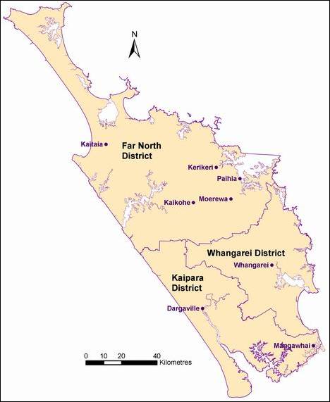
Figure 1: Map of Northland region showing districts and main urban areas.
Climate
Northland, with its proximity to the sea, almost subtropical location and low elevation, is characterised by a mild, humid and rather windy climate. Summers tend to be warm...
Population change
The Northland region is home to about 148,500 people, which is 3.7 percent of New Zealand's population (Statistics NZ 2006). There are some 30 townships with...
Northland's economy is largely agricultural with well over half of the region's land devoted to dairy, beef and sheep farming. Northland produces 26% of New Zealand's meat exports...
Transportation
The main transportation networks in Northland are roads, rail, coastal shipping and air. The roading network consists of State Highways 1, 10, 12 and 14, all of...
Northland has a rich history as the first area settled by a large Maori population and the focus of early European exploration and settlement. There is an extensive range of...
EECA. 2006. Renewable Energy Assessment: Northland Region. Report produced by Sinclair Knight Merz Limited for the Energy Efficiency and Conservation Authority. Auckland: New...
Published: 03 Apr 2008